Planned Wide Area Larvicide treatment in the South Oroville and Bird Street area on 7/07/2026
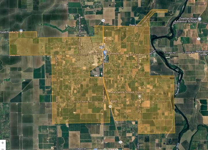
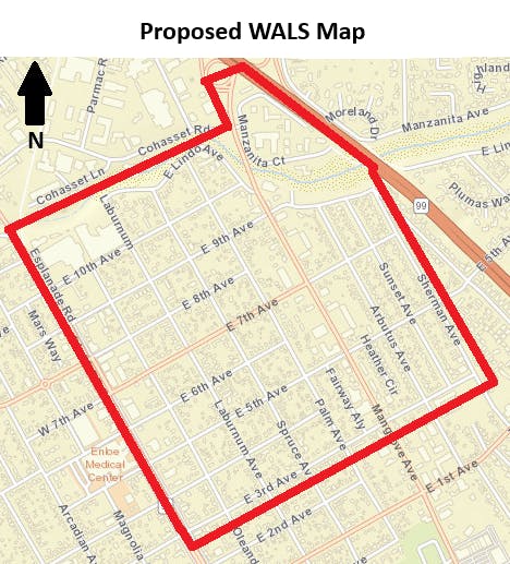
Planned Fogging for Gridley and East Gridley areas on 07/06/2026

Planned Fogging for Richvale, Nelson, Downtown Oroville, and Thermalito areas on 07/02/2026

Planned Fogging for Hamilton City, Nord, and Meridian Rd. area on 07/02/2026
Planned Fogging for M&T Levee and M&T South areas on 07/02/2026
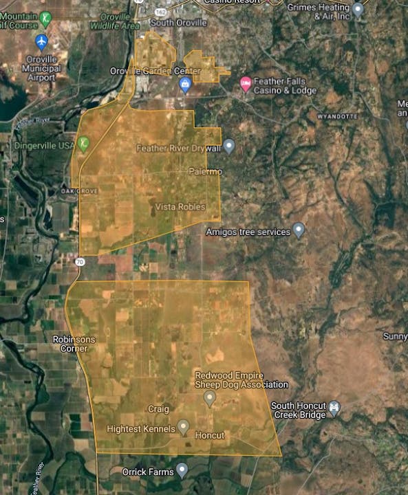
Planned Fogging for South Oroville, Palermo, Honcut, and Pacific Heights area on 07/01/2026
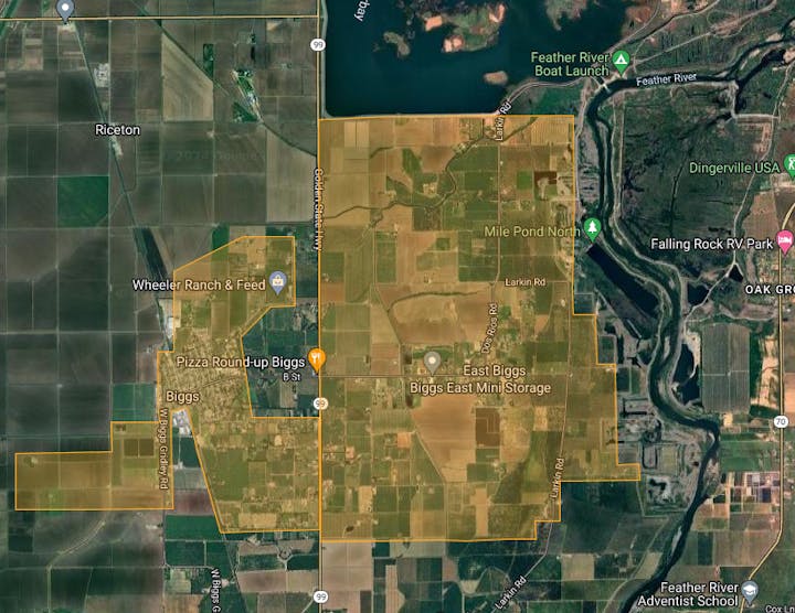
Planned Fogging for Biggs and East Biggs areas on 06/30/2026

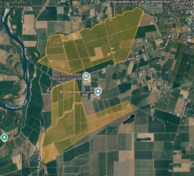
Planned Fogging for Dayton and South Chico on 06/30/2026

Planned Wide Area Larvicide treatment in the South Feather River Blvd. and Bird Street area on 6/30/2026
Planned Fogging for Gridley and East Gridley areas on 06/29/2026
Planned Fogging for Hamilton City, Nord, and Meridian Rd. area on 06/25/2026
Planned Fogging for Richvale, Nelson, Downtown Oroville, and Thermalito areas on 06/25/2026
Planned Fogging for M&T Levee and M&T South areas on 06/25/2026
Planned Fogging for South Oroville, Palermo, Honcut, and Pacific Heights area on 06/24/2026
Planned Fogging for Dayton and South Chico on 06/23/2026
Planned Fogging for Biggs and East Biggs areas on 06/23/2026
Planned Wide Area Larvicide treatment in the South Oroville and Bird Street area on 6/23/2026
Planned Fogging for Gridley and East Gridley areas on 06/22/2026
Planned Fogging for Richvale, Nelson, Downtown Oroville, and Thermalito areas on 06/18/2026

Planned Fogging for Dayton and South Chico on 06/16/2026
Planned Fogging for Biggs and East Biggs areas on 06/16/2026